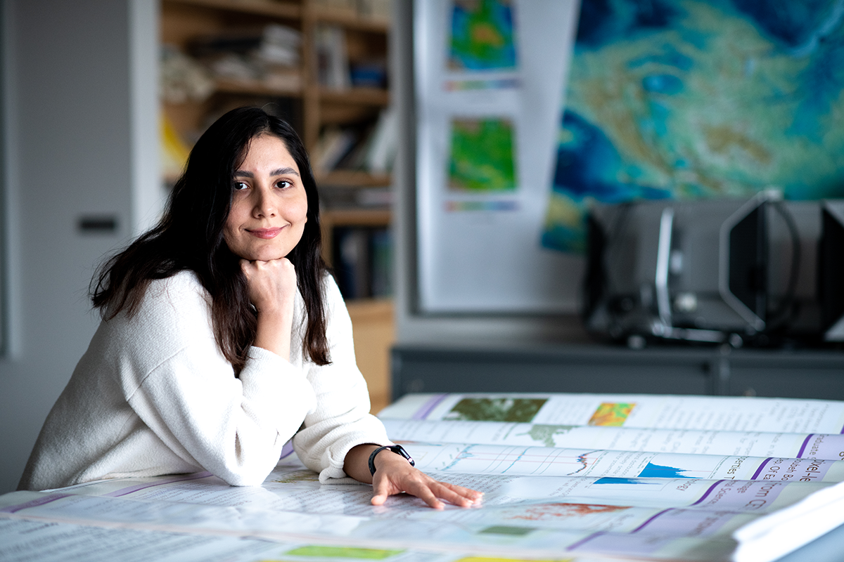
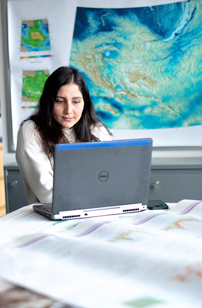
Mahboubeh Boueshagh never saw snow in her hometown in the Khuzestan Province of southwestern Iran. But as a Lehigh Ph.D. student, she is deep into snow—immersed in data in the Department of Earth and Environmental Sciences’ Remote Sensing Lab. The snowpack data she examines is significant as an indicator of climate change, and it confirms a shrinking cryosphere.
The cryosphere (the word comes from the Greek kryos, which means cold, frost or ice) is “everywhere on the Earth that water is solid, like snow, lake and river ice, glaciers, permafrost, etc.,” Boueshagh explains.
Snowpacks store water during the winters and melt into the surroundings during warm weather. By measuring the snowpack variations through remote sensing, scientists like Boueshagh can help predict the climate’s impacts on water and soil. As Boueshagh investigates how changes in snowpack affect soil moisture and vegetation, she can relate the data to wildfire hazards in the West.
“Snow can change between solid and liquid forms even with minor temperature variations,” she says. “Due to climate change and global warming, the temperature has increased, resulting in the reduced snowpack, snow drought (less precipitation as snow) and earlier spring snowmelt, which means snow covers the ground for a shorter period of time.
“Changes in the timing and magnitude of snowpack and snowmelt influence various components of the ecosystem like soil, water resources, plants, animals, humans, etc.,” she says. “Lower peak Snow Water Equivalent and early snowmelt cause less summer streamflow and soil moisture, downstream water stress in the summer with more water demand, changing growing seasons and intensified wildfire.”
Snow cover as a harbinger of climate change is not a new field, but it is a broadening one. Boueshagh works with a combination of remote sensing and machine learning, such as change detection, environmental modeling and prediction, as she did for her master’s thesis. In the lab, which is a part of the Computational and Spatial Analysis Lab, she uses different types of satellite datasets, mostly passive microwave.
Monitoring the Earth from space, passive microwave sensors detect naturally emitted microwave energy through the temperature and moisture of objects or surfaces. Monitoring the Earth in this way, says Boueshagh, “is spatially and temporally helpful in studying the environment.” There are different publicly available remote sensing datasets with different spatial and temporal resolutions, including active and passive microwave, lidar and optical, that researchers can choose based on their goals and case study.
“For example,” she says, “I can use optical data to estimate snow cover area and microwave data to derive snow depth and Snow Water Equivalent. There are in-situ measurements available to validate estimations from remote sensing and calibrate models.”
 Boueshagh came from Iran specifically to study snowpack data. But she has always been a caretaker of the environment. She has a bachelor’s degree in civil and surveying engineering and a master’s degree (MSc) in civil and surveying engineering-remote sensing and photogrammetry of the environment from the School of Surveying and Geospatial Engineering at the University of Tehran.
During her master’s degree program, she was fascinated by remote sensing of the environment, especially her thesis research on Urmia Lake in northwestern Iran, “a relatively mountainous, snow-dominated basin, but not like my current case study (western U.S.). The lake has been drying since 1995, and unfortunately, that is going to be completely dried up very soon. The lake’s basin has shown climate change signals, like increased temperatures, reduced snowpack, snow drought, etc. I was studying a special trend in the lake’s water level, and obviously, snow could play an important role. I used machine learning to model the impact of changes in the snowpack on the lake’s level for seven years. I utilized optical and passive microwave remote sensing, snow ground measurements, precipitation and evaporation data for modeling.”
After her master’s degree, she completed a short internship at a water resources company in Iran and then decided to return to school for her Ph.D.
“To follow my research interests and get enough academic support, I chose to continue my education outside of Iran and look for more opportunities in other developed countries like the U.S. to progress in my personal and academic life. Thus, I was looking for Ph.D. programs at universities in the U.S. and Canada,” she says.
Boueshagh searched university departments’ websites to find an adviser with similar interests and found Professor Joan Ramage.
“Her research was exactly what I was looking for, remote sensing of snow and passive microwave!” she says.
Ramage, associate professor of Earth and environmental sciences, says the department is always looking for “potential and enthusiasm.”
“Boueshagh is experienced in this area,” says Ramage. “I knew she could adapt and hit the ground running.”
The remote sensing field has an active “snow community” that gathers for national workshops. Boueshagh participated in a “hackweek” at the University of Washington (supported by NASA)—five days of learning programming and developing new approaches, collaborative learning and sharing datasets.
“The snow community is doing many things to expand the knowledge of snowpack-climate interactions, such as fieldwork and campaigns like the NASA SnowEx mission, workshops and hackweeks, open-source science, conferences like Eastern Snow Conference (ESC), etc.,” notes Boueshagh, who is a student representative planning the ESC this spring.
“The cryosphere community is using different remote sensing and in-situ data as well as developing methodologies to study how the cryosphere and climate change interact,” she says. “They have demonstrated the widespread shrinking of the cryosphere as an indicator of climate change and global warming. They are studying the timing and magnitude of snowpack and snowmelt through remote sensing and modeling methods and connecting them to intensified wildfire and water stress in the western U.S. They study the impact of permafrost melt on carbon sequestration. They have shown how cryospheric changes resulting from a warming climate impact sea level rise and, consequently, flooding.”
When she is not in the lab, Boueshagh spends time with friends, works out and sometimes travels. She would like to see more of the country.
“But nowadays, I am just concerned about what is happening in my country Iran,” she says of the unrest in her homeland, where her family lives.
Three years of her Ph.D. lie ahead of her, and beyond that, she might like to be a university professor or research scientist in some industry.
“I would love to work as a snow and remote sensing scientist at NASA sometime in the future,” she says.
For now, she is settled into the Remote Sensing Lab at Lehigh, where she continues to pore over snowpack data and relate it to climate change and wildfire risk.
“This area of research is significant to the environment and ecosystem,” she says, “as it is important for water resources management, disaster management and reducing climate change impact, which is essential for humans and the world.”